
The best single place
Canaan Valley National Wildlife Refuge
Seventeen thousand acres of wetland at 3,200 feet — beaver, bear, snowshoe hare, and boardwalks that let you see it without wrecking it.
Full guide to Canaan Valley →Black bear, elk reintroduced in the southern coalfields, river otter, beaver, bobcat and one of the densest whitetail populations in the region. Canaan Valley National Wildlife Refuge and the Ohio River Islands refuge are the flagship viewing areas.
Elk were reintroduced to the southern coalfields beginning in 2016 after an absence of more than 140 years. The herd is managed by WVDNR and is centered on reclaimed mine land in Logan, Mingo and Boone counties.
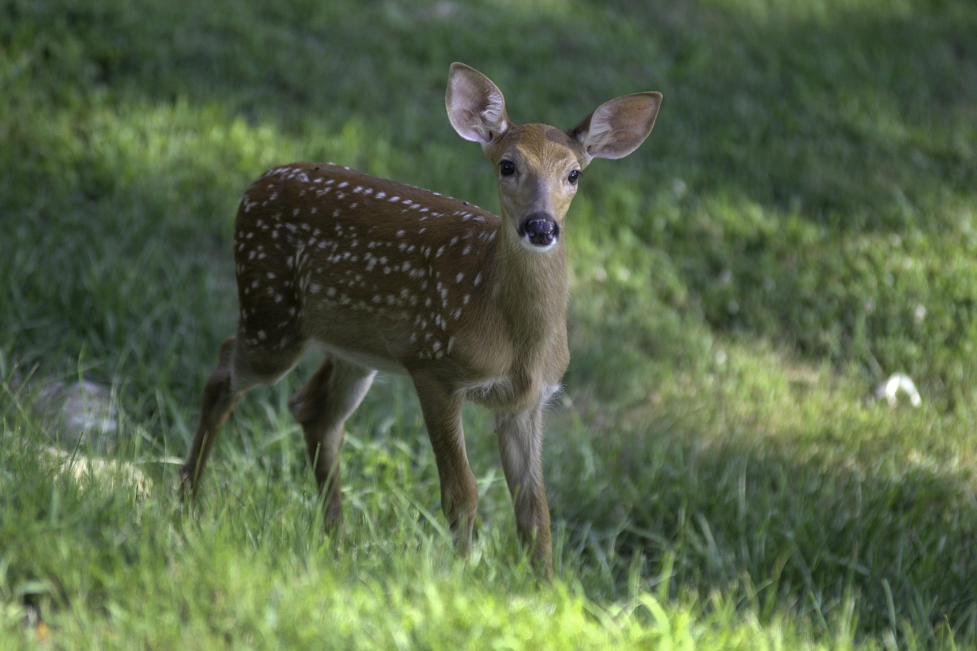
Black bear, reintroduced elk, river otter, beaver, bobcat and one of the densest whitetail populations in the region.
Seventeen thousand acres of wetland at 3,200 feet — beaver, bear, snowshoe hare, and boardwalks that let you see it without wrecking it.
Full guide to Canaan Valley →The Trough on the South Branch. Six miles of gorge with no road access, reachable by boat or by the Potomac Eagle excursion train.
Full guide to The Trough →The Ohio River Islands refuge. Herons, eagles, waterfowl and freshwater mussel beds across a chain of protected islands.
Full guide to Ohio River Islands National Wildlife Refuge →Elk viewing in the southern coalfields requires planning. The herd occupies reclaimed mine land with managed access rather than open public land, so arrangements should be made through WVDNR in advance.
All terrain in West Virginia above 4,000 feet lies in this region, including Spruce Knob at 4,863 feet.
Off-road trail towns and reclaimed mine countryThe five southernmost counties, where deep mining shaped the settlement pattern and, more recently, the recreation economy.
Ohio River islands and the North Bend Rail TrailThe Ohio River corridor and the counties inland from it.
The highest large valley east of the Mississippi, at about 3,200 feet — a 14-mile-long bowl of wetland, bog, beaver meadow and northern hardwood that behaves climatically like central Canada.
A six-mile gorge on the South Branch of the Potomac between Romney and Moorefield with no road access — reachable only by boat or by the Potomac Eagle excursion train that runs alongside it.
Two adjacent wilderness units, North and South, totaling around 12,000 acres along Laurel Fork — a beaver-worked stream valley with meadows, spruce and one of the quietest backpacking experiences in the state.
Twenty-two islands and several mainland tracts scattered along nearly 400 river miles of the Ohio, protecting some of the last relatively undisturbed island habitat on the river — critical for freshwater mussels, migratory birds and river-bottom forest.
Reserved for a West Virginia operator serving this activity. The listings above and below it are unpaid.
List your business hereGroups that handle access, maintenance, licensing and conditions data for this activity. Starred entries publish updates worth following.
Every organization we link to: local tourism offices, the state and federal agencies that manage the land, the nonprofits and clubs that keep access open, and the universities doing the research.
West Virginia has roughly 1.5 million acres of public land and a handful of places that carry almost all of the attention. The consequence is that a great deal of very good ground sits nearly empty, usually for one of three reasons: nobody has heard of it, the road in is gated or rough, or it is undeveloped and has nothing to advertise. Those are the places below — of them across regions.