
The best one
Blue Bend Recreation Area
Blue Bend on Anthony Creek. A deep green pool below a CCC stone wall, with a campground and a ridge trail attached.
Full guide to Blue Bend Recreation Area →River pools, plunge pools below waterfalls and clear lake coves are used heavily through July and August. Most are on public land but many are on private property or reached across it. WVU DIY Outdoors maintains one of the few organized published inventories.
Swimming holes are an informal but important part of West Virginia life, and the good ones are almost all cold, deep and on someone's land.
River pools, waterfall plunges and quarry-clear lake coves — with very little official documentation of any of it.
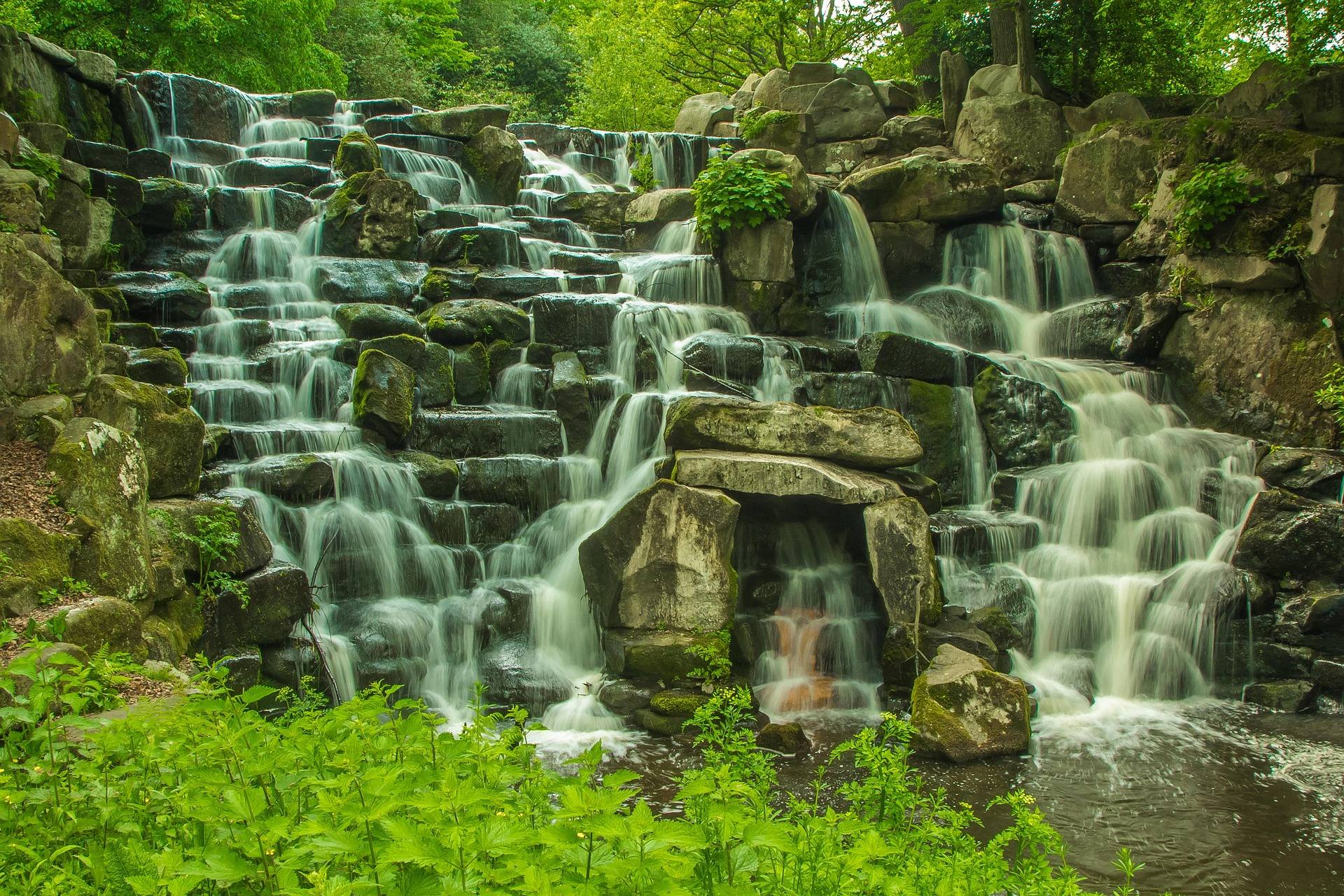
Blue Bend on Anthony Creek. A deep green pool below a CCC stone wall, with a campground and a ridge trail attached.
Full guide to Blue Bend Recreation Area →Audra State Park on the Middle Fork. Boulder-strewn river swimming with the Alum Cave boardwalk right there.
Full guide to Audra State Park →The coves at Summersville Lake. Lake rather than river swimming, and the clearest water in the state by a wide margin.
Full guide to Summersville Lake →Never jump into water you haven't checked from the bank this season. Levels, depths and submerged debris change every spring, and this is the single most common way people get badly hurt outdoors here.
The Greenbrier Valley sits on Greenbrier limestone, producing karst topography: sinkholes, springs, sinking streams and extensive cave systems, several with more than forty miles of surveyed passage.
Sandstone climbing, big whitewater, a national parkThe New River has cut a gorge roughly 1,000 feet deep through Nuttall sandstone, protected since 2020 as New River Gorge National Park and Preserve.
Highest terrain, ski areas, wilderness backpackingAll terrain in West Virginia above 4,000 feet lies in this region, including Spruce Knob at 4,863 feet.
The commercial rafting heart of West Virginia: Class III–IV big-volume water through the deepest part of the gorge, with named rapids including Surprise, Upper and Lower Railroad, Double Z, Greyhound and Fayette Station under the bridge.
West Virginia's largest lake and by a wide margin its clearest — 2,700 acres of blue-green water in a sandstone basin, popular for scuba diving, paddleboarding and boating.
A CCC-built swimming area on Anthony Creek in the Monongahela National Forest, with a deep green pool below a stone-walled beach, a campground and a loop trail up onto the ridge.
A steep, narrow limestone canyon where the South Branch of the Potomac cuts through Cave Mountain — excellent smallmouth fishing, quiet canoe water at the right levels, dispersed camping, caves in the walls and a nineteenth-century chapel at the upper end.
A CCC-built recreation area on the Shavers Fork near Elkins with a campground, picnic shelters and river access — the practical basecamp for the central Monongahela National Forest and the Otter Creek and Cheat Mountain country.
A compact park on the Middle Fork River built around a boulder-strewn swimming area and the Alum Cave boardwalk, which runs beneath an overhanging rock shelter above the river.
West Virginia's second-largest state park at 8,101 acres, in a narrow valley of hemlock and hardwood with waterfalls, cabins and a rugged trail network.
One of the finest gentle canoe rivers in the East — clear, shallow, warm and slow, winding through farmland and forest with reliable smallmouth fishing and easy multi-day trips.
Home to the only natural lake in West Virginia — a small sinkhole pond in the George Washington National Forest section of Hardy County, alongside the larger man-made Rockcliff Lake, a campground and trails into the Lost River State Forest country.
The northernmost park in the system, in Hancock County at the tip of the Northern Panhandle.
The largest lake on the Monongahela National Forest, 156 acres at around 2,600 feet against the Virginia line, with two sand beaches — one on the mainland and one on an island reached by a footbridge.
Reserved for a West Virginia operator serving this activity. The listings above and below it are unpaid.
List your business hereGroups that handle access, maintenance, licensing and conditions data for this activity. Starred entries publish updates worth following.
Every organization we link to: local tourism offices, the state and federal agencies that manage the land, the nonprofits and clubs that keep access open, and the universities doing the research.
West Virginia has roughly 1.5 million acres of public land and a handful of places that carry almost all of the attention. The consequence is that a great deal of very good ground sits nearly empty, usually for one of three reasons: nobody has heard of it, the road in is gated or rough, or it is undeveloped and has nothing to advertise. Those are the places below — of them across regions.